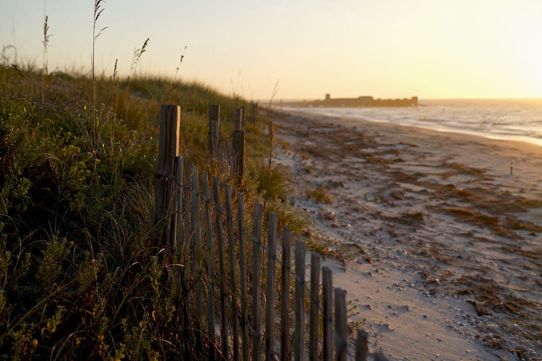
The Coastal Construction Control Line (CCCL) is the regulatory boundary the Florida Department of Environmental Protection uses to control construction seaward of Florida's beaches, protecting the dune system while still allowing reasonable private use. Chapter 161 of the Florida Statutes gives FDEP the authority to draw this line county by county. If you own, plan to buy, or intend to develop coastal property, your first move is practical, not legal: pull up FDEP's Map Direct GIS and see where your parcel sits relative to the line.
- Check FDEP Map Direct before you sign a contract or pull a permit application.
- If your parcel is seaward of the line, expect stricter design and siting review.
- Chapter 161, Florida Statutes, is the legal backbone; the mapped line is the practical marker.
Pro Tip: Never rely on a listing photo or a neighbor's memory of "where the line used to be." CCCLs get re‑established after major storms, so the line on a five‑year‑old survey may not match what Map Direct shows today.
Key Takeaways
Building near Florida's coastline requires clearing the Coastal Construction Control Line review process, and the location of that line, the strength of your foundation design, and your disclosure paperwork all determine whether a project or sale closes cleanly.
| Point | Details |
|---|---|
| Confirm CCCL status early | Use FDEP Map Direct and county survey records before signing contracts or drafting plans. |
| Understand the technical basis | The line reflects 100-year storm modeling and a 30-year erosion projection, not a fixed boundary. |
| Know your exemptions | Minor repairs skipping foundation work are often exempt under Chapter 62B‑33, but confirm before assuming. |
| Disclose properly in sales | Section 161.57 requires specific disclosure for parcels seaward of the CCCL. |
| Coordinate consultants early | Urban Planning Pros packages surveying, engineering, and permit strategy into one feasibility process. |
This article is general information, not a substitute for advice from a qualified lawyer. Consult a qualified legal professional about your own circumstances before acting on anything here.
Table of Contents
- What Is the Coastal Construction Control Line Program?
- How Does FDEP Establish a Coastal Construction Control Line?
- When Do You Need a CCCL Permit, and What's Exempt?
- How Do You Check if Your Property Is Seaward of the CCCL?
- What Does FDEP Look at During a Permit Review?
- What Disclosure Rules Apply to Coastal Real Estate Deals?
- How Should You Prepare for a CCCL Project?
- Sources
What Is the Coastal Construction Control Line Program?
The CCCL Program exists because Florida's beaches erode, storms surge, and unregulated building on the dune system puts both nature and neighboring property at risk. Its statutory basis is Part I of the Beach and Shore Preservation Act, codified in Chapter 161, which authorizes FDEP to draw CCCLs on a county-by-county basis after engineering studies and public hearings.
The program currently covers multiple coastal counties with sandy, erosion-prone beaches, from the Panhandle down through both coasts. It doesn't apply to every waterfront parcel in Florida, only to sand-beach and dune systems exposed to direct wave and storm action.
The FDEP program page is explicit about the goal: regulate structures and activities that could cause beach erosion, destabilize dunes, damage upland property, or block public beach access, while still protecting sea turtles and native dune vegetation. This isn't a ban on coastal building. It's a filter that separates resilient, well-sited construction from projects that would put people and property in the direct path of the next major storm.
How Does FDEP Establish a Coastal Construction Control Line?
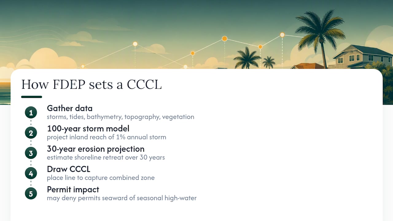
Setting a CCCL is a technical exercise, not a guess drawn on a map. FDEP engineers pull historical hurricane and storm data, tide cycle records, offshore bathymetry, erosion trends, topography, and vegetation patterns for each county under review.
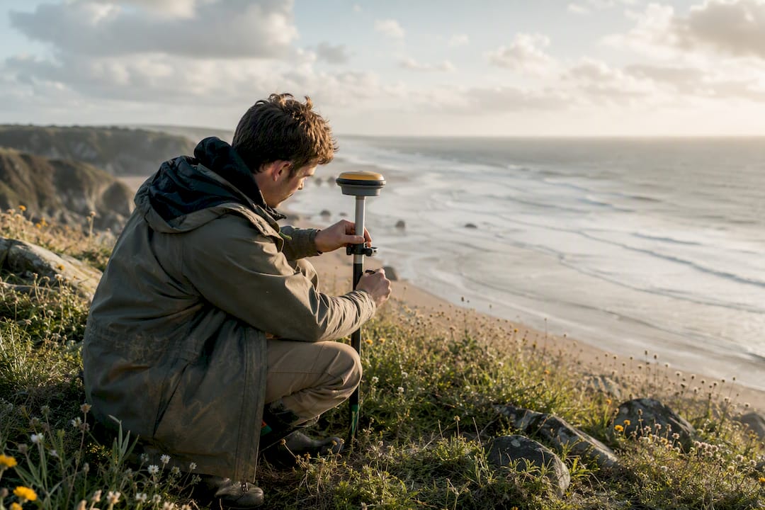
The centerpiece of that analysis is 100-year storm modeling: FDEP projects how far inland the damaging forces of a storm with a 1% annual chance of occurring would reach, then draws the control line to capture that zone. Add to this a 30-year erosion projection, which estimates how far the shoreline could retreat over three decades. Florida Statute §161.053 actually allows FDEP to deny a permit if a structure is expected to sit seaward of the seasonal high-water line within that 30-year window. That single provision quietly reshapes foundation design decisions on a lot of coastal lots.
When Do You Need a CCCL Permit, and What's Exempt?
Building seaward of the CCCL doesn't require abandoning your project, but it almost always requires a permit under Chapter 62B‑33 of the Florida Administrative Code. That chapter spells out permit classes, design standards, and the specific activities exempt from full review.
Some common exemptions homeowners rely on:
- Minor repairs or improvements to an existing single-family dwelling that don't touch the foundation.
- Landscaping and dune vegetation work that doesn't disturb the dune structure.
- Certain maintenance activities on existing, already-permitted structures.
Rebuilding after storm damage is where things get more nuanced. FDEP's own CCCL FAQ confirms that rebuilding seaward of the line is allowed under defined standards, but foundation work almost always triggers full permit review, even when the original structure was legally built decades earlier. A slab that survived one storm doesn't automatically get rebuilt the same way after the next one.
Here's the practical tension: exemptions save real time and money, but the line between "minor repair" and "foundation work" isn't always obvious from the outside. A raised porch replacement can look cosmetic and still count as a structural change once an inspector looks at the connection points. Getting a professional read before you assume you're exempt beats finding out otherwise mid-project.
How Do You Check if Your Property Is Seaward of the CCCL?
Confirming your parcel's status takes three steps, in order:
- Start with Map Direct. FDEP's interactive GIS shows the CCCL as a solid red line across all 25 covered counties. Zoom to your parcel and see where it falls relative to that line.
- Cross-check with recorded surveys. County records and Coastal Range Monument references settle disputes when a Map Direct reading looks close or ambiguous. FDEP also publishes downloadable geodata for more precise spatial referencing than a browser map allows.
- Order a professional survey when it matters. Development sites, disputed boundaries, or anything close to the line justify a licensed surveyor or coastal engineer, not just a GIS screenshot.
If questions remain, FDEP's program contacts and county CCCL permit managers handle site-specific guidance faster than a general help line ever will.
What Does FDEP Look at During a Permit Review?
Once an application is filed, reviewers work through a defined set of environmental and public-access criteria, not a subjective judgment call:
- Impact on the beach-dune system's stability and erosion resistance.
- Effects on adjacent properties, including shading, drainage, and sand transport.
- Presence and health of native salt-resistant dune vegetation.
- Sea turtle nesting habitat and lighting impacts.
- Preservation of existing public beach access points.
Any weak spot in these categories can trigger a request for design changes or additional documentation mid-review. Applicants who show up with an engineering report, coastal modeling data, a current site survey, and a vegetation assessment tend to move through review faster than those who submit bare architectural drawings and hope for the best.
What Disclosure Rules Apply to Coastal Real Estate Deals?
Section 161.57 of the Florida Statutes creates a specific disclosure requirement for any property seaward of the CCCL, and sellers who skip it expose themselves to real liability. Buyers, for their part, should never take a seller's word for it.
A clean transaction checklist looks like this: confirm the parcel's CCCL status through Map Direct, order a current survey rather than trust an old one, include the statutory disclosure language in the contract, and add a contingency tied to any permitted work the buyer plans to complete. For larger or repeat development scenarios, a development agreement with FDEP can lock in permit terms across multiple phases, which matters when erosion projections or storm data shift between phases of a build.
How Should You Prepare for a CCCL Project?
Assembling the right team early avoids the most expensive mistake in coastal development: designing first and discovering constraints later.
Who you'll typically need:
- A licensed coastal engineer to model storm forces and design resilient foundations.
- A licensed surveyor to establish exact CCCL position and elevations on your parcel.
- An environmental scientist for vegetation and sea turtle habitat assessment.
- A permitting specialist or land planner to package the application and manage FDEP correspondence.
What you'll need to gather:
- A current construction survey with elevations and monument references.
- A coastal engineering report addressing 100-year storm resilience.
- Foundation design options that account for the 30-year erosion projection.
- A species and vegetation assessment if the site has dune habitat.
Urban Planning Pros coordinates this exact mix of surveying, engineering, and permit packaging so property owners aren't juggling four separate consultants who've never spoken to each other.
How We Approach CCCL Feasibility Reviews
Our process starts with a screening review against Map Direct and county survey records, then moves into coordinated survey and engineering work once a parcel's CCCL exposure is confirmed. From there, permit strategy weighs real tradeoffs, like a deeper pile foundation that adds cost but preserves buildable area versus a smaller footprint that clears review faster. Every site carries its own math.
Get Your CCCL Compliance Questions Answered Before You Build
Urban Planning Pros replaces the piecemeal approach of hiring a surveyor, then an engineer, then a permit consultant separately, each starting from zero on your site's history. We run feasibility studies that fold CCCL exposure, foundation constraints, and permit strategy into one coordinated report before you commit capital to design work.

Before reaching out, gather what you already have: a recent survey if one exists, your parcel ID, and any prior permit history on the property. From there, our land planning services team scopes the survey, engineering, and permit packaging work as one sequence instead of three disconnected vendor relationships. This article is informational only and isn't a substitute for a site-specific legal or engineering opinion. If you're ready to see where your parcel actually stands, request a feasibility consultation and get a straight answer before you draw up plans.
Sources
- Coastal Construction Control Line Program | Florida Department of Environmental Protection
- LOCATE the Coastal Construction Control Line (CCCL) | Florida Department of Environmental Protection
- 161.053 Coastal construction and excavation; regulation on county basis.— — Florida Statutes
- Coastal Construction Control Lines (CCCL) — FDEP Geodata
- Chapter 62B-33, Florida Administrative Code (CCCL permit rules) — Law.Cornell