
QGIS is the better starting point for most land teams: it is free, runs on Windows, macOS and Linux, and opens MapInfo files directly. MapInfo Pro is the stronger fit when your team already works in Windows, wants vendor support and subscription updates, and has MapInfo data in production. If your real question is whether a parcel can be bought, sold or developed, the software matters less than the feasibility work done with it.
This comparison is written for landowners, developers, builders and investors who use or hire people who use GIS for zoning, infrastructure and site analysis. It covers licensing, data compatibility, workflows, limitations, alternatives and where a planning consultant fits.
TL;DR
- QGIS is free and open source under the GNU GPL, and runs on Windows, macOS and Linux. It suits teams that want no license cost and are willing to configure their own workflows.
- MapInfo Pro is paid, Windows desktop software from Precisely, with a 30-day trial, feature-based licensing and vendor support. It suits organizations that value commercial support and have existing MapInfo data.
- The two read each other's formats, so switching or running both is practical.
- Alternatives worth a look are ArcGIS Pro, Global Mapper, GRASS GIS and Maptitude, depending on whether you need enterprise GIS or business analytics.
- Neither tool tells you whether a site is entitled, serviceable or financeable. That takes a feasibility study.
Table of Contents
- What QGIS and MapInfo Pro are
- Cost and licensing
- Features and data compatibility
- Moving from MapInfo to QGIS
- Limitations to plan around
- Which one should you pick?
- Alternatives to MapInfo Pro
- What a GIS tool will not tell you
- When to bring in a planning partner
- A practical way to decide
- FAQ
- Sources
What QGIS and MapInfo Pro are
Both are desktop GIS applications: you load layers such as parcels, zoning, floodplains and utilities, then query, edit, analyze and map them. They differ in how they are licensed and who stands behind them.
QGIS is described in its own documentation as a user-friendly open-source GIS for Linux, Unix, macOS and Windows, licensed under the GNU GPL and free of cost. The project says it covers map creation, editing, analysis, automated workflows, reporting and publication to the web. Because it is open source, there is no seat count to manage and no renewal to approve.
MapInfo Pro is a desktop GIS and web-mapping platform from Precisely for managing, visualizing, analyzing and publishing location data. Precisely lists features such as site selection and risk analysis, operational planning, large-raster processing, cloud data connectivity and subscription support, and offers a 30-day free trial.
A 2025 repository-hosted academic study of the two reached a conclusion that matches what most practitioners say: both create, edit, analyze and view geographic data, and the choice depends on budget, project complexity, user experience and requirements.

Cost and licensing
This is the clearest difference.
| QGIS | MapInfo Pro | |
|---|---|---|
| License | Open source, GNU GPL | Commercial, from Precisely |
| Cost | Free | Paid, quoted by sales, no free plan |
| Trial | Not needed | 30 days |
| Platforms | Windows, macOS, Linux | Windows |
| Support | Community, plugins, documentation | Vendor support with subscription |
The platform and pricing rows follow an independent 2026 comparison, which describes QGIS as free across Windows, macOS and Linux, and MapInfo Pro as paid Windows desktop software with a 30-day trial and pricing on request.
MapInfo Pro licensing has more moving parts than a single seat. Precisely's licensing guide describes feature-based Basic, Advanced and Premium licenses, with node-locked, concurrent and distributable models. Node-locked licenses run on a specified computer. Concurrent licenses are shared and matter for Citrix deployments. Distributable licenses are administered through a license server. That guide dates from the 2021 release, so confirm current packaging with Precisely.
More recently, Precisely's product sheet says one- and three-year subscriptions include maintenance, update notifications, the features formerly sold as MapInfo Pro Advanced, broad file-format support and time-series visualization. We do not quote a MapInfo price here because Precisely does not publish one on its product pages. Ask for a quote based on your user count and license type.
What this means for a land team: a single analyst or a small firm can start on QGIS with no budget approval. A larger organization with IT policy, Citrix or a need for a vendor to call may find a MapInfo subscription easier to justify.
Features and data compatibility
Land-use work is mostly a data problem. You pull parcel boundaries from a county, zoning from a municipal source, floodplain and wetland layers from federal or state agencies, and utility data from whoever has it. Format support decides how much time you spend converting.
QGIS
QGIS documentation lists support for GeoPackage, GML, GeoJSON, KML, CSV, ESRI formats, MapInfo formats, AutoCAD DWG and DXF, PostgreSQL, SQLite, Oracle, SQL Server, web services such as WFS and WMS, and ArcGIS services. For site analysis, the useful parts are direct connections to enterprise databases and to the web feature services many jurisdictions publish for parcels and zoning.
An independent comparison credits QGIS with vector and raster analysis, mesh and imagery support, QGIS Server, OGC protocols, plugins and Python extensibility. The plugin ecosystem is a real advantage: the project notes that plugins extend the application and contributions come from a global user community.
MapInfo Pro
Precisely's documentation lists SQL querying, multiple map and browser views, live ODBC access, thematic mapping, raster underlays, workspaces, layouts, printing and export, and projection changes. On data, it supports TAB, GeoPackage, shapefile, CSV, Excel, Access and many raster formats, with import for DWG/DXF, DGN, ESRI geodatabases, GML and KML.
Its getting-started guide says the product supports appraisal, conservation, planning, surveying and management work, treats each opened table as a map layer, and can access database tables directly or import them into native TAB format. The same independent review points to 2D/3D visualization, Python and MapBasic scripting, geocoding, drive-time analysis and AI-assisted analysis as MapInfo Pro strengths.
Side by side for site work
| Task | QGIS | MapInfo Pro |
|---|---|---|
| Overlay parcels, zoning and floodplain | Yes, with direct web-service connections | Yes, with table-per-layer workflow |
| Open the other tool's files | Reads MapInfo formats | Reads GeoPackage, shapefile and OGR-based formats |
| Automation | Processing models, Python | MapBasic, Python |
| Print-ready layouts | Print layouts | Layout windows and export |
| Drive-time and geocoding | Via plugins and services | Built-in features |
| Share maps online | QGIS Server or cloud publishing | Web-mapping platform and Precisely tools |
In short, QGIS leans toward flexible analysis and customization, while MapInfo Pro leans toward table-driven editing, production cartography and enterprise connectivity, a split also described in an aggregated 2026 review of desktop GIS tools.
Moving from MapInfo to QGIS
If you inherit MapInfo files from a prior consultant or a municipality, you are not stuck. QGIS opens TAB and MIF layers natively. For whole projects there is an official plugin: the MapInfo Project Importer brings in TAB/MIF layers and WOR workspaces while preserving supported styles, layer order, visibility, labels, project CRS and map view. Layout and printer conversion is not implemented, so plan to rebuild print layouts by hand.
That last point is the typical migration cost: not the data, but the finished map templates and any MapBasic scripts your team depends on.
Limitations to plan around
No GIS package fits every workflow. Know the trade-offs before you commit staff time.
- QGIS: an independent review notes no official mobile apps, a learning and configuration burden, and web publishing that may require QGIS Server. Budget training time, and decide who maintains your plugins and versions.
- MapInfo Pro: the same review lists Windows-only deployment, no free plan and sales-contact pricing. Mac users will need virtualization or another approach.
The same review rates QGIS 9.4 out of 10 and MapInfo Pro 8.4. Treat that as one reviewer's view, not a verdict for your team.
Which one should you pick?
The independent comparison sums it up: QGIS fits broad, no-cost professional GIS across Windows, macOS and Linux, while MapInfo Pro fits mature Windows desktop GIS teams. Here is how that plays out by role.
- Landowner preparing to sell: you rarely need to own GIS software. You need someone to read your title documents, zoning and access, and show buyers what the land can support. QGIS is enough if you want to look at your own parcel layers.
- Developer screening sites: QGIS lets your acquisitions staff overlay parcels, flood zones and utilities without license costs per seat. Choose MapInfo Pro if your firm already stores data in TAB files or needs vendor support.
- Builder checking permit risk: your needs are narrow: setbacks, easements, floodplain, access. QGIS handles it, but the interpretation of those layers is where permits succeed or fail.
- Investor doing due diligence: speed matters. A free tool and a short list of data sources get you a first screen, then a specialist confirms what the screen cannot.
- Industrial outdoor storage teams: site evaluations repeat across many parcels. QGIS processing models can standardize a screen, while MapInfo Pro's table-based workflow suits teams with existing templates.
Precisely positions MapInfo Pro as a commercially supported workflow for organizations that value vendor support, subscription updates and cloud and database connectivity. If that describes your procurement process, that is a legitimate reason to choose it.
Alternatives to MapInfo Pro
Searchers looking for a MapInfo alternative usually land on QGIS, but it is not the only option.
- ArcGIS Pro: Esri's desktop GIS for data management, 2D/3D/4D visualization, editing, Python and ModelBuilder automation, and sharing through ArcGIS Online and Enterprise. Esri directs buyers to its pricing page and the overview does not list a price. It is the usual choice when counties, utilities or engineering partners already work in Esri formats.
- Global Mapper and GRASS GIS: a 2026 roundup names ArcGIS Pro for enterprise GIS, QGIS and GRASS GIS as open-source options, and Global Mapper as an SMB-oriented desktop GIS.
- Maptitude: Caliper's product is built for business analytics, including demographic analysis, territory and route optimization, and site-location and market analysis. It fits retail or market-area questions more than parcel-level zoning work.
Match the tool to the question. A market-area study and a zoning overlay are different jobs.
What a GIS tool will not tell you

A map shows where things are. It does not decide whether a rezoning is likely, whether the utility has capacity, whether the jurisdiction will accept your site plan, or whether the numbers work at current construction and capital costs. Those answers come from reading recorded documents, talking to staff, coordinating survey and engineering, and judging market direction.
This is where land deals go wrong: the layers looked clean and the constraint sat in a document nobody read. A GIS screen is the start of due diligence, not the end.
How we see it
We use GIS as one input among several. The question our clients bring us is rarely which software draws the best map. It is whether a property can support the project they have in mind, at what cost and risk, and in what sequence.
That is why we start with property documents, zoning constraints, infrastructure and market direction together, before capital is committed. A parcel layer can show a boundary, but it takes a documented review to show an access easement, a jurisdictional condition or a team that is not aligned on the path to approval.
Our aim is to surface problems early, while they are still inexpensive to address, and to protect owner decisions from there through execution. Whether your team maps in QGIS, MapInfo Pro or another system, the deliverable should be a clear strategy you can act on.
Jeremy Wenger
When to bring in a planning partner
If you are choosing GIS software to evaluate land, you are probably about to make a buy, sell or build decision. Urban Planning Pros works with landowners, developers, builders and investors across Alabama, Florida, Georgia, Kentucky, Louisiana, Mississippi, Missouri, Tennessee, Texas, North Carolina and South Carolina. We evaluate property documents, zoning, infrastructure and market demand, then turn them into a plan you can use.
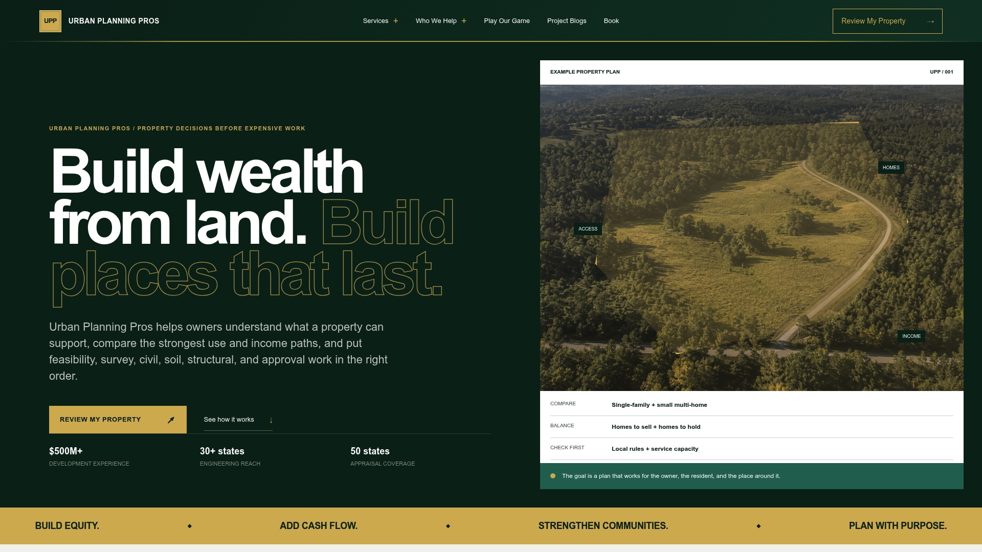
Our feasibility studies, master land planning, owner representation and development strategy are scoped to the project. For the survey side, see our surveying services, and for the wider planning picture, our urban planning and development page. To talk through a specific site, book a feasibility call.
A practical way to decide
- List your data sources. If you mostly receive shapefiles, GeoPackage, KML and web services, QGIS reads them all. If you receive TAB files and MapBasic tools, weigh MapInfo Pro or the QGIS importer.
- Count seats and platforms. Mixed Mac, Windows and Linux staff favor QGIS. A Windows-only shop with Citrix and IT governance may favor a MapInfo subscription.
- Test both. QGIS costs nothing and MapInfo Pro has a 30-day trial, so run one real parcel through each.
- Decide who interprets the output. Software produces layers. Someone with entitlement and site-planning experience has to read them.
- Match effort to the stakes. A quick screen of dozens of sites suits a standard workflow. A seven-figure acquisition deserves a documented feasibility review.
FAQ
Is QGIS really free for commercial use?
Yes. QGIS is licensed under the GNU GPL and free of cost, and the project states it remains free and open source. There is no per-seat fee. Your costs are training, data, and whoever supports your setup.
Can QGIS open MapInfo files?
Yes. QGIS lists MapInfo formats among the data it opens, and the official MapInfo Project Importer plugin brings in TAB/MIF layers and WOR workspaces. Layout and printer settings are not converted, so expect to rebuild print layouts.
Does MapInfo Pro run on Mac?
Not natively. An independent review lists Windows-only deployment as a MapInfo Pro limitation. Mac-based teams usually choose QGIS, which runs on macOS, or use virtualization for MapInfo.
What is the best MapInfo alternative?
It depends on the job. QGIS is the closest no-cost option for general GIS. ArcGIS Pro suits teams working with enterprise Esri data, and Maptitude suits market and territory analysis. For land feasibility and entitlement questions, the right answer is often a specialist who uses whichever tool fits the site.
Sources
- QGIS Python API documentation
- QGIS: Spatial without Compromise
- QGIS documentation: opening data
- MapInfo Project Importer for QGIS
- Precisely: MapInfo Pro
- Precisely: MapInfo Pro features guide
- Precisely: MapInfo Pro data file support
- Precisely: MapInfo Pro getting started
- Precisely: MapInfo Pro licensing and activation
- Precisely: MapInfo Pro subscription product sheet
- iTechGuides: QGIS vs MapInfo Pro
- GIS application for spatial data analysis: MapInfo vs QGIS
- Gitnux: best GIS desktop software
- Esri: ArcGIS Pro overview
- Caliper: Maptitude