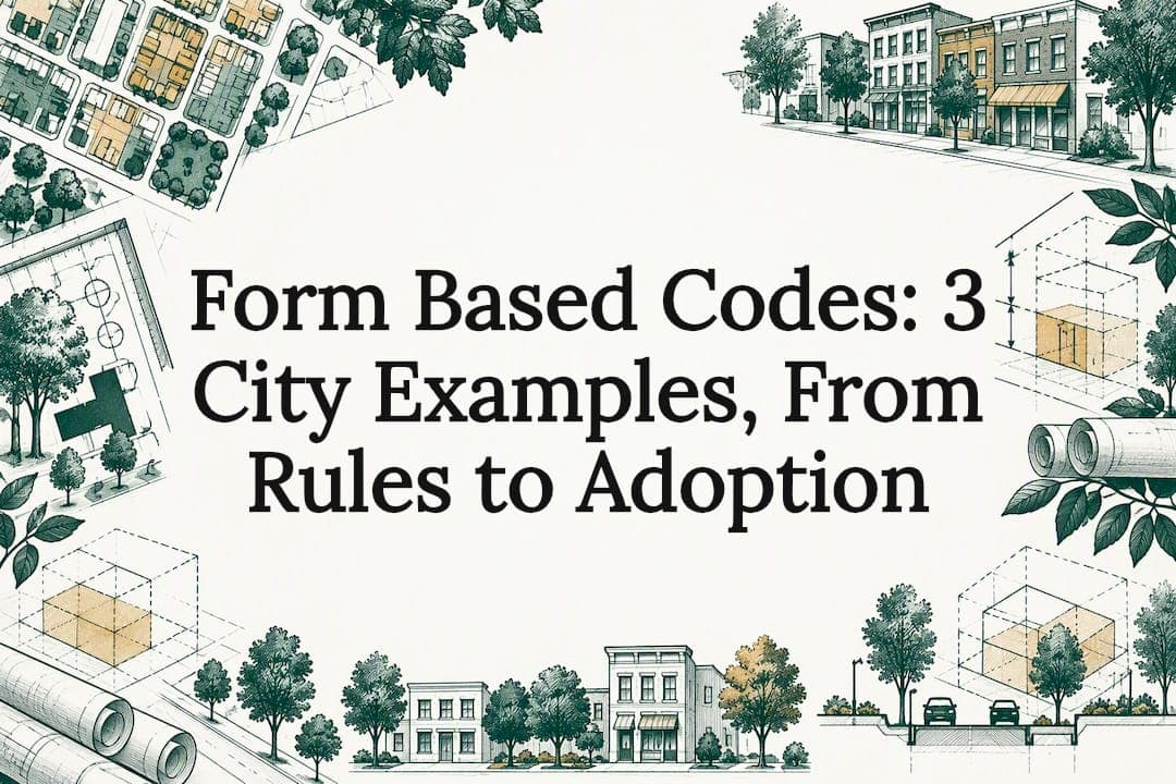
A form-based code regulates building placement, frontage, and street design rather than land use, aiming for a predictable, walkable public realm instead of a patchwork of separated zones. It gives developers clearer standards and local officials a direct link between a code and a community's physical vision. The trade-off: stronger design control usually means a longer drafting process and a steeper administrative learning curve after adoption.
TL;DR:
- A code needs a regulating plan that maps each parcel, measurable street and building standards, review procedures, and consistent definitions; diagrams alone are insufficient.
- Start with one corridor or district where community goals and market demand align; an optional code alongside existing zoning can ease legal or political resistance.
- Budget for outreach, drafting, legal review, and staff training; administration continues after adoption because unfamiliar graphical standards need consistent interpretation.
- Columbia Pike’s code supported more than 3,400 housing units over 20 years, though later community discussions still raised design quality and sustainability concerns.
- Pair the code with affordability measures because rising property values can displace existing residents, even when new rules permit mixed use and smaller homes.
Table of Contents
- What counts as a form-based code
- Core components and what each one controls
- How form-based codes differ from conventional zoning
- Benefits communities report after adoption
- Drawbacks, trade-offs, and how to manage them
- How to create, test, and adopt a form-based code
- Three municipal examples worth studying
- How we support form-based code projects
- When a form-based code makes sense
- Ready to test a form-based code on your property?
- FAQ
- Sources
What counts as a form-based code
A form-based code is not a style guide or a set of suggestions. It is a land-development regulation, adopted into municipal law, that uses the physical form of buildings, streets, and public spaces as its organizing principle rather than separated use categories, according to the Form-Based Codes Institute. That legal status matters: an illustrated document with no regulatory teeth is a design guideline, not a form-based code, no matter how many renderings it includes.
What makes a code enforceable in practice is its reliance on diagrams and a regulating plan that shows exactly where each standard applies, parcel by parcel. The Form-Based Codes Institute identifies five elements that a genuine form-based code includes:
- A regulating plan mapping zones to specific geographic areas
- Public-space and thoroughfare standards for streets, sidewalks, and trees
- Building-form standards covering placement, height, and frontage
- Administrative procedures for review and approval
- A set of definitions that keeps technical terms consistent
Core components and what each one controls
Each element above translates into specific, measurable rules rather than general intentions. The regulating plan typically organizes a jurisdiction into transect zones, ranging from rural to urban core, and maps those zones directly onto parcels, so a developer can look up a lot and know which standards apply.
Public-space and thoroughfare standards cover the dimensions of sidewalks, the placement of street trees, and the width of travel lanes, since the street itself is treated as a civic design element. Building-form and frontage standards set build-to lines, facade requirements, and height limits in stories rather than feet, which keeps new construction aligned with its neighbors.
- Regulating plan: transect zones and parcel-level mapping
- Public standards: sidewalk width, tree spacing, travel-lane dimensions
- Building standards: build-to lines, frontage types, height or story limits
- Use tables and administration: allowed uses and review procedures
The FBCI Standards of Practice stress that these standards should be objective and measurable, limiting the discretionary review that often slows conventional permitting.
How form-based codes differ from conventional zoning
Conventional zoning organizes land primarily by use, separating residential, commercial, and industrial districts and often requiring discretionary review for anything that does not fit cleanly. A form-based code flips that logic: physical form comes first, and a wider mix of uses is allowed by right as long as a building meets the frontage, height, and placement standards.
- Organizing principle: form and street relationship versus use category
- Approval path: by-right review for compliant projects versus case-by-case discretion
- Public realm: thoroughfare and frontage standards built into the code versus addressed piecemeal
- Transition option: many jurisdictions adopt an optional or parallel form-based code alongside existing zoning before going mandatory citywide
That optional-format approach lets a jurisdiction test the code in one district, a strategy covered in our guide to PUD zoning review expectations, which touches on similar transition questions between planned and conventional approaches.
Benefits communities report after adoption
Developers working under a form-based code generally face fewer open-ended negotiations, since compliant projects can proceed by right instead of through a discretionary hearing. That predictability shortens review timelines and reduces the risk of late-stage design changes driven by a single commission's preferences.
Communities also point to a more walkable, visually coherent street environment, because thoroughfare and frontage standards apply consistently rather than varying project to project. Because many form-based codes allow mixed uses and a range of building types by right, they can open the door to missing-middle housing, duplexes, triplexes, and small multifamily buildings, a shift we explore in our piece on mixing single-family homes with denser housing types.
- Fewer discretionary hearings for compliant projects
- More consistent street-level design across a corridor
- Greater capacity for mixed-use and missing-middle housing
Columbia Pike in Arlington County has added thousands of housing units over two decades under its form-based code, according to a retrospective from the Congress for the New Urbanism, illustrating what sustained, by-right redevelopment can look like along a single corridor.
Drawbacks, trade-offs, and how to manage them
Form-based codes carry real up-front costs. Drafting a regulating plan, running community visioning sessions, and securing legal review all take time and budget before a single permit is issued. A 2017 study of 26 Southern California cities found that form-based codes did not consistently outperform conventional codes on sustainability criteria, underscoring that a code's quality depends on how it is written, not on the format alone, according to research published in the Journal of the American Planning Association.
Staff also face a learning curve administering unfamiliar standards, and increased investment in a newly coded corridor can raise property values enough to create displacement pressure if the code is not paired with affordability measures.
- Drafting and legal review add cost and time before adoption
- Staff need training to administer unfamiliar standards
- Rising property values can price out existing residents absent paired policy
Pro Tip: Pilot a form-based code in one corridor or district before considering a citywide mandate, so staff and the market can adjust before the stakes get higher.
How to create, test, and adopt a form-based code
The CMAP step-by-step guide lays out a sequence that most municipal form-based code projects follow, whether led by in-house staff or outside consultants.
- Scope the project area and determine how the new code will relate legally to existing zoning.
- Document existing conditions, including building types, lot patterns, and infrastructure capacity.
- Run a community visioning process to establish the physical outcomes residents actually want.
- Draft the regulating plan and standards, then test them against sample projects to confirm they produce the intended form.
- Complete legal review and, where consultants are involved, manage procurement or RFP steps.
- Adopt the code, choosing between a mandatory citywide rule or an optional, parallel format for a transition period.
- Train staff and administer the code, since graphical standards still require consistent interpretation after adoption.
Communities typically budget for outreach, legal counsel, and post-adoption administration as part of this process, not just the drafting phase itself.
Three municipal examples worth studying
Columbia Pike in Arlington County shows what a long-term corridor retrofit can achieve: a form-based code adopted in the mid-2000s has supported more than 3,400 housing units and substantial commercial space over 20 years, alongside later community discussions about design quality and sustainability standards, per the CNU retrospective.

Chapel Hill's Blue Hill district illustrates how a form-based code can accelerate housing delivery while also surfacing affordability trade-offs that require follow-up policy work.
Mount Holly, New Jersey, offers a smaller-scale lesson: graphical, diagram-led standards made the code easier for the public and developers to understand, but the jurisdiction still needed staff training and legal integration to administer it well, according to the DVRPC case study.
- Columbia Pike: 20-year corridor retrofit, thousands of housing units, later design-quality debate
- Blue Hill: housing gains paired with affordability questions
- Mount Holly: clear graphics, but administration still required dedicated training
How we support form-based code projects
Testing whether a form-based code will actually work on the ground requires the same due diligence we bring to any land-use decision. We evaluate zoning constraints, infrastructure capacity, and market direction through feasibility studies, then carry that analysis into master land planning and entitlement strategy as a jurisdiction moves toward adoption.
- Feasibility studies that test code scenarios against market demand
- Master land planning to shape a regulating plan's physical outcomes
- Surveying and engineering coordination to ground standards in real site conditions
- Owner representation through due diligence, code testing, and implementation support
For landowners and developers evaluating zoning constraints before a purchase or project, our zoning due diligence checklist outlines the GIS and code-staff checks worth running early.
When a form-based code makes sense
We favor piloting a form-based code in one corridor or district where community vision and market interest already align, rather than mandating it citywide on day one. Where political or legal resistance runs high, an optional, parallel format reduces risk. Any code should be paired with affordability and public-realm investment, or its gains will not reach everyone it touches.
— Jeremy Wenger
Ready to test a form-based code on your property?
Whether you are a landowner weighing a rezoning opportunity or a developer evaluating a corridor under a new form-based code, the questions are the same: does the regulating plan fit your site, and does the market support it? We offer feasibility studies, master land planning, and development strategy built to answer exactly that before you commit capital.
Reach out through our services page to scope a feasibility study or code-testing engagement for your property.
FAQ
Is the Miami 21 zoning code a form-based code?
Miami is widely cited as having one of the largest citywide form-based codes in the United States, organizing regulation around building form and transect zones rather than separated use categories. The code reflects the core elements the Form-Based Codes Institute describes: a regulating plan, building-form standards, and clear administration tied to adopted law.
What are the three types of zoning?
Zoning frameworks vary by jurisdiction, but conventional zoning is commonly grouped into residential, commercial, and industrial categories, with additional overlays for mixed or special uses. Form-based codes depart from this use-based grouping entirely, organizing standards by building form and street relationship instead.
What is A1 zoning in Louisiana?
Zoning designations like A1 are set locally, so the specific standards depend on the parish or municipality's own code rather than a single statewide definition. Reviewing the local zoning ordinance or contacting the jurisdiction's planning office is the reliable way to confirm what A1 permits on a specific parcel.
What do R1, R2, and R3 zoning designations mean?
R1, R2, and R3 are common conventional zoning labels for residential districts, typically distinguishing single-family lots from increasing density of duplexes or small multifamily buildings, though exact definitions vary by jurisdiction. A form-based code generally replaces these numeric use categories with form-based zones defined by building type and frontage rather than density alone.
Sources
- Form-Based Codes Defined - Form-Based Codes Institute
- Form-Based Codes: A Step-by-Step Guide for Communities - CMAP
- Study on form-based codes in Southern California (2017)
- Form-Based Codes: Lessons Learned from a Mount Holly, NJ Case Study - DVRPC
- Twenty years of retrofit with a form-based code - CNU