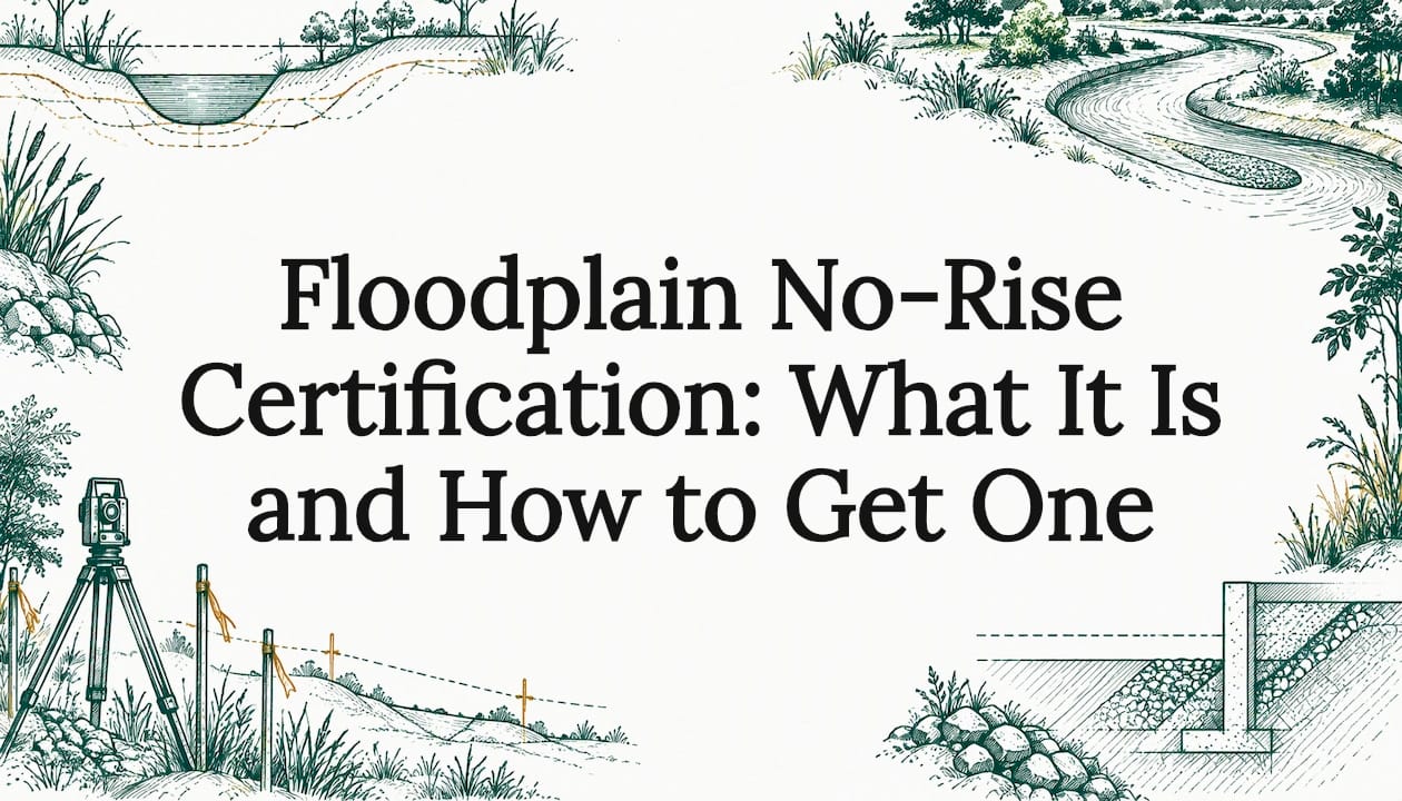
A no-rise certification is a signed engineering statement that your proposed development in a regulatory floodway will not increase flood elevations. In practice, it is the document a local floodplain administrator wants in the permit file before approving work in the floodway. A registered professional engineer has to support it with hydraulic data and sign it. If the analysis shows any increase, the certificate cannot be issued and the project has to change.
This guide explains when you need one, what the analysis must prove, what a complete submittal contains and how to keep it from derailing your schedule. It is written for landowners, developers, builders and investors who need to know early whether a floodway changes what a site can do.
TL;DR
- A no-rise certification is required when development is proposed in a mapped regulatory floodway. FEMA says the analysis must be done before a permit is issued, and a registered professional engineer must sign it.
- "No rise" means zero increase. Municipal guidance treats even 0.01 foot as a failure.
- If the engineer cannot show zero rise, the usual path is redesign, or a Conditional Letter of Map Revision (CLOMR) from FEMA.
- Requirements, forms and review fees vary by community, so confirm them with the local floodplain administrator before you spend money on design.
- Check floodway status during due diligence, before you close on land or lock a site plan.
Table of Contents
- What a no-rise certification is
- When you need one
- What the analysis has to show
- What a complete submittal contains
- Who can prepare and sign it
- No-rise, no-impact, elevation certificate and map revision: how they differ
- What a no-rise certification does not settle
- Cost and timing
- How to avoid the usual delays
- Where the project ends up if the analysis shows a rise
- Plan the floodway question into your next project
- FAQ
- Sources
What a no-rise certification is
The National Flood Insurance Program (NFIP) designates a floodway: the channel and adjacent land that must stay clear so the base flood (the 1% annual chance, or 100-year, flood) can pass without raising water levels. Communities that participate in the NFIP have to review every project in that area.
FEMA's guidance says any project in a floodway must be reviewed to determine whether it will increase flood heights. The community's permit file has to hold a record of that analysis, and a no-rise certification is the usual form for it. The certification must rest on technical data and carry the signature of a registered professional engineer.
The certificate itself is short, often one page. The work behind it is the hydraulic analysis.
When you need one
You need a no-rise certification when the work sits in a regulatory floodway, as shown on the effective Flood Insurance Rate Map (FIRM) and floodway data tables. Typical triggers:
- Buildings, additions or accessory structures
- Fill, grading or stockpiles
- Parking lots, paved yards and outdoor storage areas
- Bridges, culverts, driveway crossings and utility crossings
- Fences, walls and retaining structures that obstruct flow
Local rules decide the details. As one example, Ada County, Idaho, requires a floodplain development permit before work begins and a no-rise certificate for development in the floodway. Many communities go further than the federal minimum, so read the local floodplain ordinance for the parcel.
Not every floodplain parcel needs one. Land in the broader floodplain but outside the floodway is generally handled through elevation and flood-proofing standards, not a no-rise analysis. Only the mapped floodway line, or a community's own stricter rule, triggers the certification.
What the analysis has to show
The engineer must demonstrate that proposed conditions will not increase base flood or floodway elevations at any existing or new cross-section or evaluation line. That includes cross-sections the engineer adds to model the project accurately.
The standard is zero. Municipal guidance flags a common mistake: assuming "no-rise" tolerates small increases. FEMA and local ordinances define it as 0.00 feet, and a 0.01-foot change is rejected. Some certificate forms also ask the engineer to confirm no increase in the 100-year discharge and no increase in floodplain width, so read your community's form before modeling starts.
For very small projects, the bar is lower. The same Allentown guidance notes that for minor items such as signposts or mailboxes, a No Impact Statement may support the certification without a hydraulic model. Do not assume this applies to a building, fill or paving. The floodplain administrator decides what counts as minor.

What a complete submittal contains
Reviewers reject incomplete packages more often than they reject sound projects. North Carolina's NFIP guidance gives a useful picture of a full package. It lists the effective, duplicate effective, corrected effective, existing conditions and proposed conditions models, plus a project narrative, a topographic work map, cross-section plots and a property survey.
Use that as a working checklist, then adjust it to your jurisdiction:
| Item | What it does |
|---|---|
| Effective model | The adopted FEMA model, the baseline for comparison |
| Duplicate effective model | Confirms the model runs and reproduces the published results |
| Corrected effective model | Fixes known errors or updates in the effective model |
| Existing conditions model | Reflects the site as it is today |
| Proposed conditions model | Adds your project, which is tested against the baseline |
| Project narrative | Explains the work and modeling assumptions |
| Topographic work map | Shows the project against the floodway and cross-sections |
| Cross-section plots | Show before and after geometry |
| Property survey | Fixes boundaries, floodway lines and structures |
The survey and topography are where many schedules slip. The model is only as good as the ground data under it. If your parcel has no recent topographic data, order it first. Our post on getting topographic survey data in 1 to 10 days explains what to request, and a topographic survey tied to the floodway lines gives the engineer a defensible base.
Who can prepare and sign it
The signer must be a registered professional engineer. State licensing rules matter: local forms typically require the engineer to be licensed in the state where the project sits. For example, Faulkner County, Arkansas, uses a form in which the engineer certifies being a duly qualified Professional Engineer licensed in the State of Arkansas, and that the certification be signed and sealed.
Two practical points follow:
- Hire an engineer licensed in the project's state, with floodway modeling experience in that watershed. Ask whether they have worked with that community's reviewer before.
- The certification comes from the applicant's side. The community reviews it. It does not produce it.
The owner or developer usually holds the contract. Surveyors, civil engineers and planners all feed the package, which is why coordination matters.
No-rise, no-impact, elevation certificate and map revision: how they differ
These documents get confused, and the wrong one costs weeks.
- No-rise certification. Engineering proof of zero increase in flood elevations for work in a floodway.
- No-impact statement. A lighter statement some communities accept for minor work that clearly will not affect flows.
- Elevation certificate. FEMA describes it as a document of building elevations for floodplain compliance and insurance purposes. It records where a structure sits. It does not prove anything about flood heights. See our flood elevation certificate service for that piece.
- CLOMR and LOMR. Map revisions. If a project will cause an increase, the community must obtain a Conditional Letter of Map Revision from FEMA, as Minnesota's guide puts it. This is slower and costlier than a no-rise path.
A site can need several of these at once: a no-rise certificate for the floodway work and an elevation certificate once the building is up.
What a no-rise certification does not settle
A certificate answers one question: does the project raise flood heights. It does not clear everything else.
- Other laws still apply. One county permit form states that floodplain permit approval does not remove obligations under the Endangered Species Act, the Clean Water Act or other applicable laws. Wetlands on a floodplain parcel are common. Our wetlands permit process guide covers the steps and timelines.
- No variance for a rise. Under 44 CFR 60.6, communities cannot issue variances for development in a regulatory floodway that would increase flood levels during the base flood. If the numbers show a rise, negotiation will not fix it.
- Safety. Floodways can carry deep and fast floodwaters that may endanger occupants and the public safety employees conducting search and rescue. A passing certificate means no rise in water levels, not that the site is a good place for occupied buildings or valuable stored goods.
Cost and timing
There are two cost lines: the engineer's fee, and the community's review fee. Engineering fees depend on stream complexity, model quality and how much data exists. Review fees vary. Wake County, North Carolina, for instance, charges $1,000 for No Rise Certifications and CLOMRs. Other communities charge different amounts or nothing, so check the local fee schedule.
Time is harder to predict. Data gathering, modeling, internal review and the community's own review each take turns. Revisions after reviewer comments are the usual source of delay. Build that into your contract and closing timelines instead of assuming a single pass.
How to avoid the usual delays
- Check the floodway before you commit. Pull the effective FIRM and floodway data for the parcel during due diligence. A floodway crossing the buildable area changes the site plan, and sometimes the price.
- Call the floodplain administrator early. Ask for the permit checklist, the certificate form, the required models and the fee.
- Get survey and topography first. Current ground data, floodway lines and structure locations should be in hand before modeling.
- Design to avoid obstruction. Keep fill, buildings and storage out of the floodway where the site allows. Less obstruction means a simpler analysis.
- Run the model before the final site plan. If the early run shows a rise, you can adjust the layout while changes are cheap.
- Plan for the other permits. Wetlands, stormwater, state agencies and endangered species reviews may run alongside the floodplain permit.
Outdoor storage sites deserve a specific warning. Paved yards, fill pads and stacked materials all change flow paths, and they are often the first things proposed in low-lying land. Test them in the model early.
Where the project ends up if the analysis shows a rise
You have three realistic options:
- Redesign to reduce or remove the obstruction: move structures out of the floodway, lower fill, add compensating conveyance.
- Pursue a CLOMR with the community and FEMA, which is a longer process and requires the community's participation.
- Reconsider the site or the use, when the parcel's floodway share leaves too little buildable area.
Knowing which one applies before purchase is the point of a feasibility study.
How we approach floodway sites
Most floodway problems we see are not engineering failures. They are timing failures. A buyer closes, a site plan gets drawn, and only then does someone ask whether the floodway line crosses the building pad.
We build floodway review into the first feasibility pass. We read the property documents, the zoning, the FIRM and the floodway data together, and we coordinate survey and engineering so the model starts with sound ground data. Our approach is designed to surface a no-rise question before it becomes a redesign.
The goal is simple: you should know what the land can support before you commit capital to it.
Jeremy Wenger
Plan the floodway question into your next project
Urban Planning Pros helps landowners, developers, builders and investors evaluate property documents, zoning, infrastructure and site constraints before they buy, sell or build. That includes coordinating survey and engineering work when a floodway or floodplain is in play.
If you have a parcel with a mapped floodway, start with a feasibility study, so constraints are clear before design money is spent.
You can also explore our surveying services for the topographic and boundary data a hydraulic model depends on. To discuss a specific site, book a feasibility call.
FAQ
Is a no-rise certification the same as an elevation certificate?
No. A no-rise certification is an engineering finding that development in a floodway will not raise flood elevations. An elevation certificate records a building's elevations for floodplain compliance and insurance. A project can need both, at different stages.
Can I get a no-rise certification if my project raises the water level slightly?
No. The standard is zero increase, and municipal guidance rejects even a 0.01-foot rise. Your options are to redesign the project or pursue a CLOMR through the community and FEMA.
Who has to sign the certificate?
A registered professional engineer must sign it, supported by technical data. Local forms generally expect licensure in the state where the project is located, and many require a seal. Confirm the exact wording with your floodplain administrator.
How much does it cost?
It depends on the engineering scope and your community's review fee. Some jurisdictions publish fees, such as Wake County, North Carolina, at $1,000 for a No Rise Certification. Ask the local office for its current schedule before you budget.
Sources
- No-Rise Certification for Floodways, FEMA
- No-Rise Certification Guidance, Allentown, PA
- Floodplain Application Checklist, Ada County, ID
- NC NFIP Guidance Document #1: Review of No-Rise
- Engineering No-Rise Certificate Form, Faulkner County, AR
- Elevation Certificate, FEMA
- Minnesota Floodplain Management Quick Guide
- Floodplain Development Permit Form, Douglas County, CO
- 44 CFR 60.6, Variances and exceptions
- Floodway Encroachments, NFIP guidance
- Flood Reviews and Permits, Wake County